GPS, or Global Positioning System, is a satellite-based navigation system that enables users to identify their exact location anywhere on Earth. Initially developed by the U.S. Department of Defense for military applications, GPS became available for civilian use in the 1980s, marking a new era in navigation technology. GPS operates by connecting with satellites that transmit signals to GPS receivers, enabling them to calculate precise coordinates such as latitude, longitude, and altitude.
The evolution of GPS technology has made it indispensable in everyday life. From integrating into smartphones and vehicles to enhancing consumer electronics, GPS is now more accessible and affordable than ever. Its applications are diverse, ranging from vehicle GPS navigation systems—offering optimal routes and traffic updates—to outdoor adventures, where hikers use GPS trackers to confidently explore new paths. Businesses leverage GPS for fleet management, optimizing delivery routes and streamlining logistics. Additionally, in the realm of photography, GPS-enabled cameras offer geotagging capabilities, adding valuable context to images. As GPS technology continues to advance, its role in enhancing convenience and connectivity remains pivotal.
How GPS Works
The Global Positioning System operates through a network of satellites that orbit the Earth, delivering precise location data. These satellites broadcast signals with their position and the exact time the signals are sent. With at least 24 operational satellites, the system ensures that at least four are visible from any location on the planet at any time.
GPS determines location through triangulation and signal timing. When a GPS receiver captures signals from at least four satellites, it calculates the distance from each based on the time taken for the signals to travel. This distance is computed by multiplying the time by the speed of light. By intersecting these distances, the receiver accurately pinpoints its position on Earth, providing precise latitude and longitude coordinates.
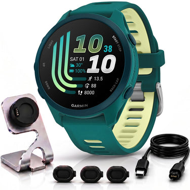
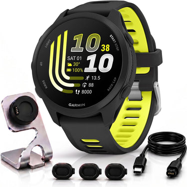
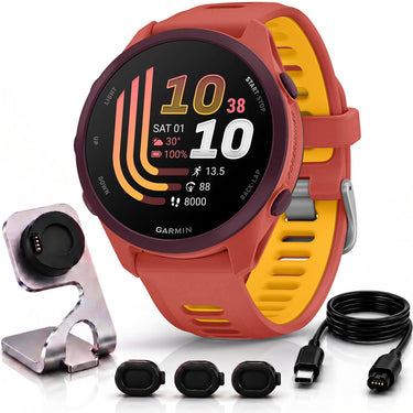
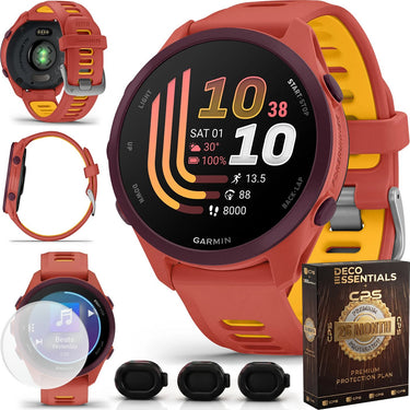
GPS receivers, including devices like the Garmin Forerunner, are sophisticated tools that interpret these signals to offer highly accurate location data. They not only determine position but often provide additional features like speed, direction, and distance traveled. Whether navigating unfamiliar terrain, tracking fitness goals, or planning a journey, a reliable GPS receiver is invaluable in ensuring you reach your destination safely and efficiently.
Customer First
We put customers first, always.
Give Us A Call
(800) 572-3224
Fast Free Shipping
On everything.
Secure Transactions
Transactions backed by 40+ years of trust.
✓
You're on the list!
We'll email you when this item is back in stock.
Notify me when available
Enter your email and we'll let you know when this item is back in stock.